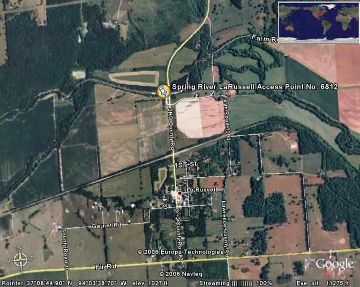
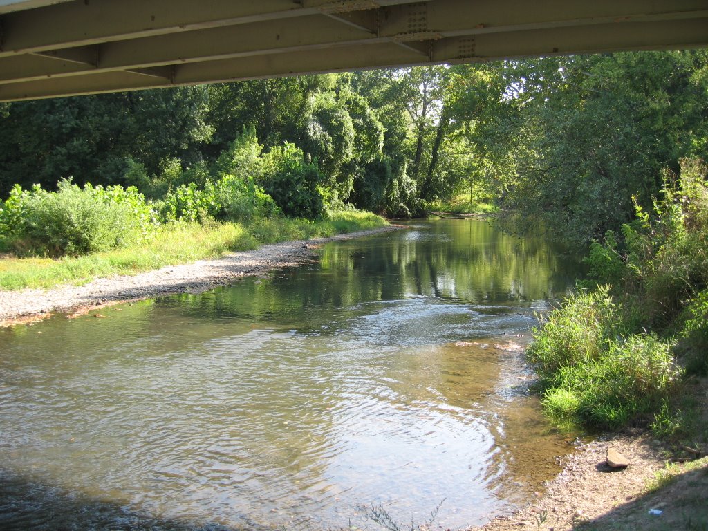
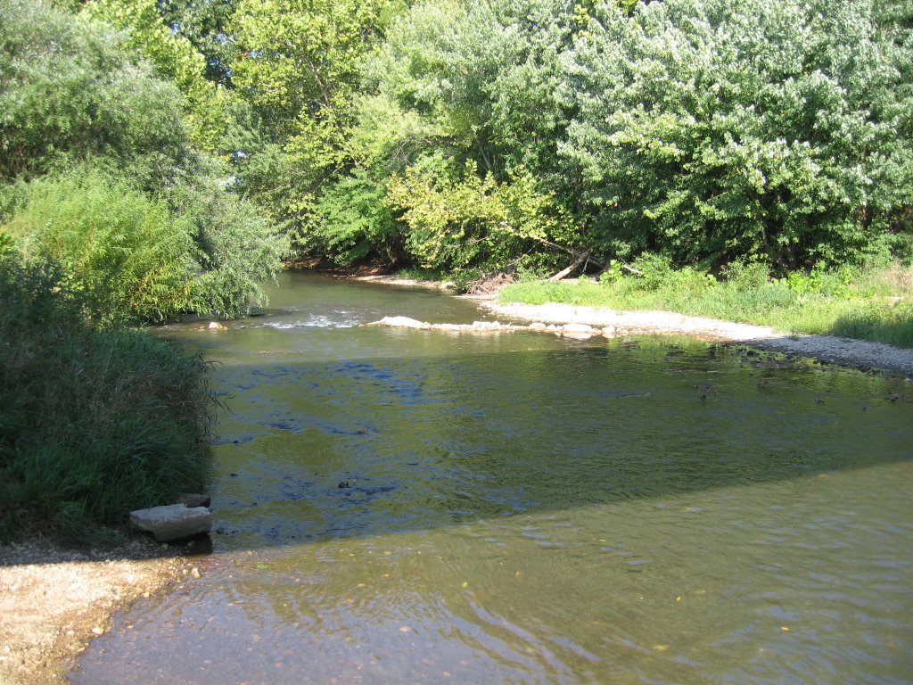
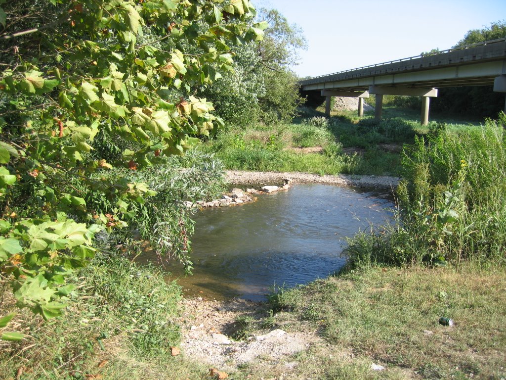
What Stream Teams Do
 Missouri Stream Teams are all about promoting citizen awareness and involvement in river and stream conservation. Some of the activities that Stream Team No. 2945 will be doing at the LaRussell Access Point include: completing visual stream survey data sheets, biological monitoring, and picking up litter on the access and along the riverbank.
The Visual Stream Survey is used to determine if there are any obvious pollution problems on the river and to characterize the riparian environment through which the river flows, like (1) floodplain land use, (2) riparian cover, (3) riverbank cover, (4) bed composition of riffle, (5) percent embeddedness of cobble structure, (6) signs of human use, (7) algae, (8) water color, and (9) water odor.
The Biological Monitoring includes completing a Macro invertebrate data sheet. We'll be looking for specific Macro invertebrates that are (1) sensitive, (2) somewhat sensitive or (3) tolerant of water quality. They include: Caddis Fly Larvae, Hellgrammites, Mayfly Nymphs, Gilled Snails, Riffle Beetles, Stonefly Nymphs, Water Penny Larvae, other Beetle Larvae, Clams/Mussels, Crane Fly Larvae, Crayfish, Dragonfly Nymphs, Damselfly Nymphs, Scuds, Sow bugs, Fish fly Larvae, Alderfly Larvae, Water snipe Fly, Aquatic Worms, Black Fly Larvae, Leeches, Midge Larvae, Pouch Snails, and other Snails.
If this sounds like fun or you are interested in learning more about Missouri Stream Teams, you are welcome to join us.
posted by ShowmeSpringer @ 5:10 PM
1 comments
![]()